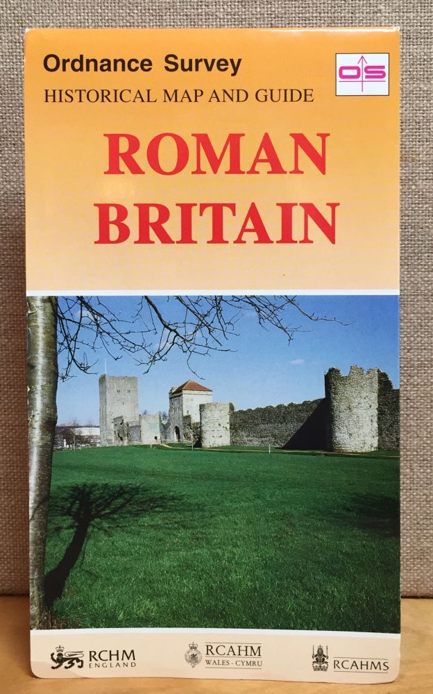
Roman Britain: Ordnance Survey Historical Map and Guide
Southampton, Great Britain: Ordnance Survey, 1994.
Fourth Edition (Revised). Paperback.
A partial revision of the Ordnance Survey map of Roman Britain published in 1978. Two maps (North and South Britain) are printed back-to-back covering the whole of Roman Britain and including a comprehensive index of sites, photographs and a chronological table. Sites include temples & shrines, villas, buildings, milestones, fortresses and forts, signal stations, temporary camps, coloniae, tribal cities, spas, burgi, towns, settlements barrows & mausolea, lighthouses, industrial sites, etc. An informative text describes the construction and layout of both Hadrian’s Wall and the Antonine Wall, with a list of the best-preserved parts to visit or view. The text gives an insight into settlements, amphitheaters and temples, as well as industry and mining.
Item #901219ISBN: 0319290271
5-1/4 x 9-3/8”, 2 back-to-back folding maps with 40 panels, text, site indexes, photos, measuring approximately 37 x 50” unfolded (scale 1:625,000).
A bit of minor marginal wear to folded wrappers, virtually unused, near fine overall.
Price: $15.00

